
More Details
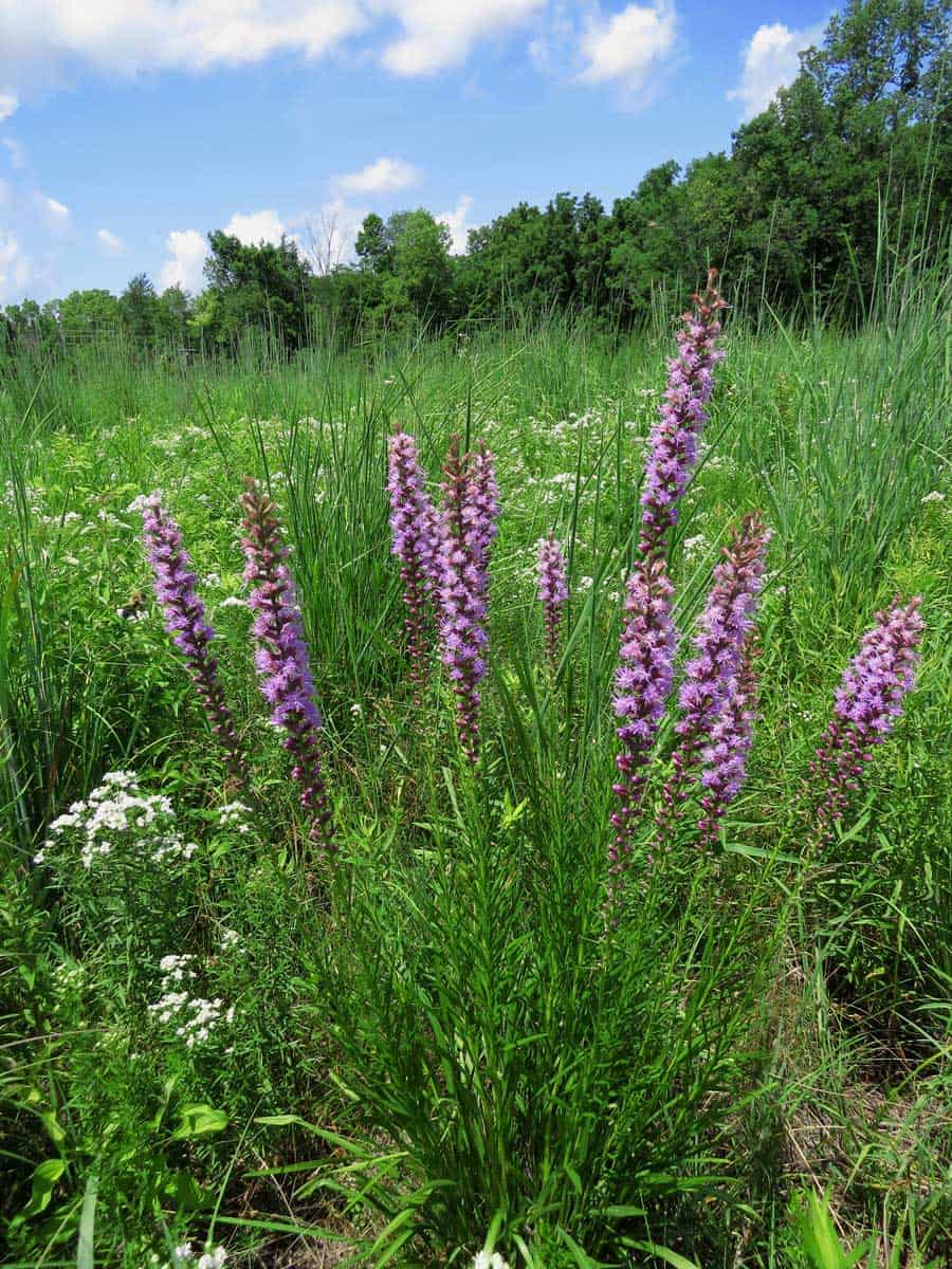
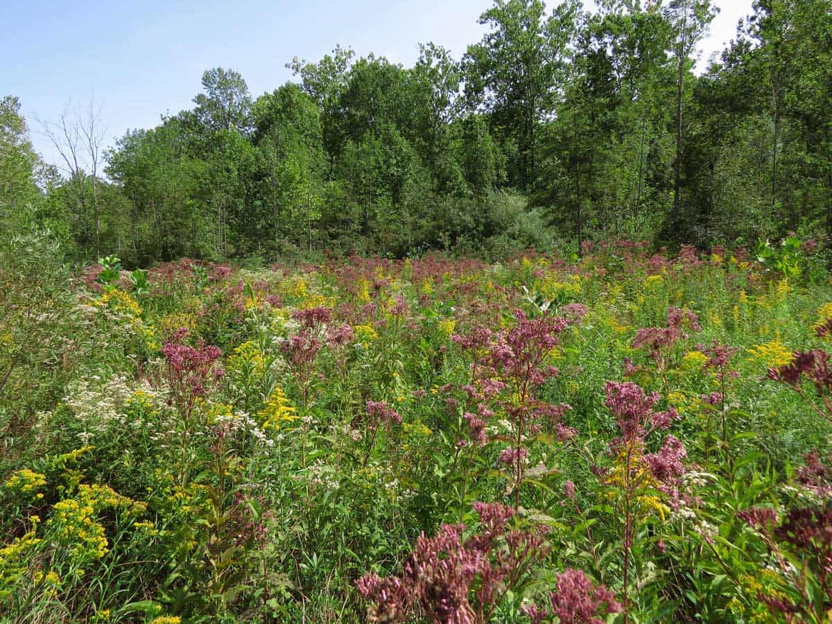
This large urban park is bisected by a water supply reservoir. While the east side contains most of the park facilities, the west side of the park is largely undeveloped. Thanks to its varied topography and soils, this portion of the park contains a great diversity of both natural and restored native plant communities including some of the highest quality mesic woodlands remaining in the Indianapolis Metropolitan area protected in Eagle’s Crest Nature Preserve. Other plant communities that occur within its boundaries are floodplain woodlands, restored fen, prairie plantings, young reforestation areas, and early successional brushy habitats.
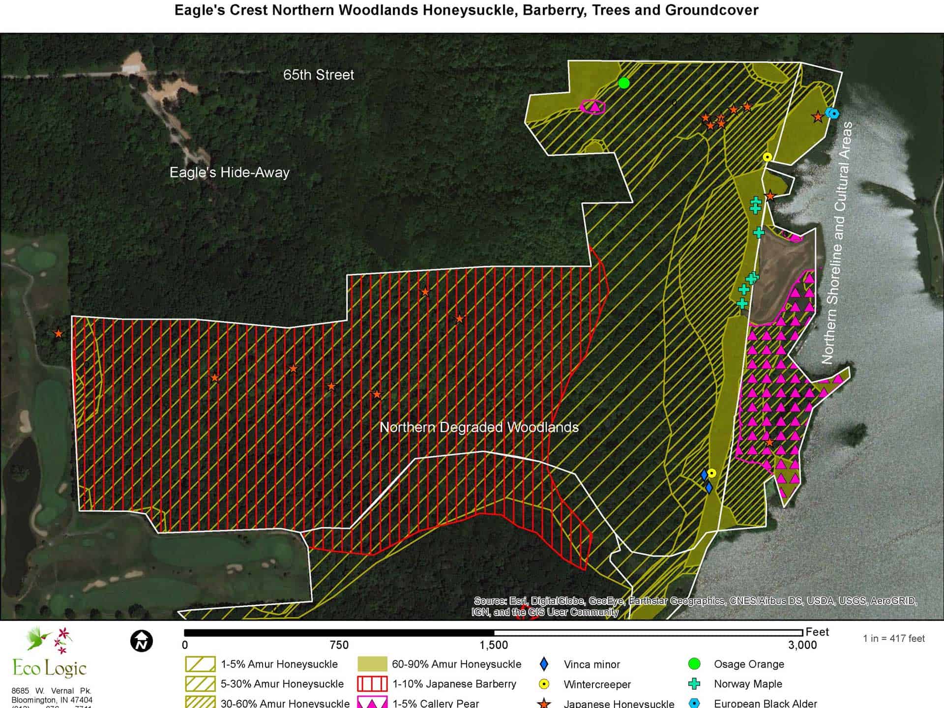
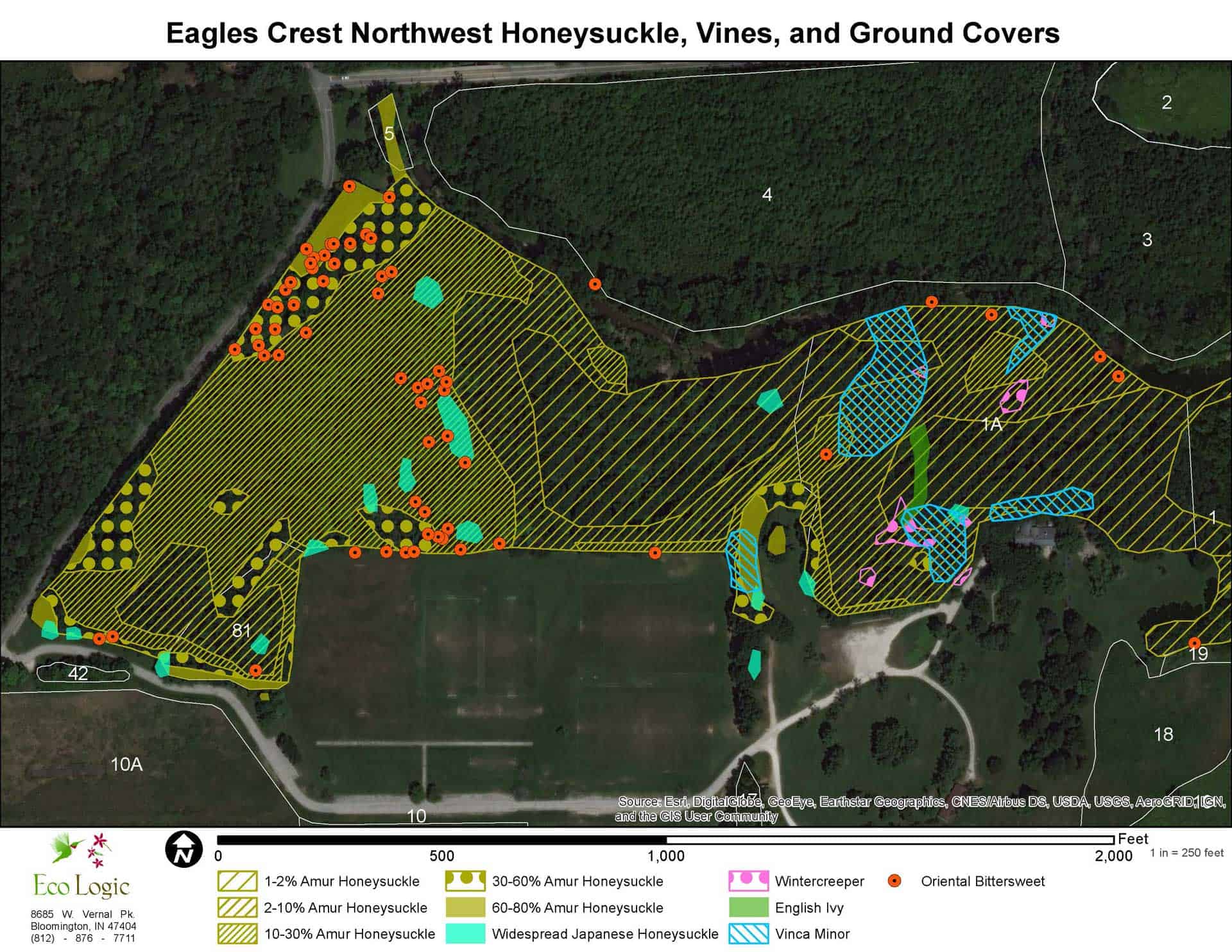
Beginning in the November of 2018, invasive plants were mapped in this park in approximately 200-300 acres increments over the next three years, with the final installment completed in October 2020. In 2018, much of the west central portion was mapped including the large prairie planting and an area of second-growth woodlands to the south of the prairie planting. In July 2019, a large portion of the southern half of the park was mapped including very high-quality rolling mesic woodland in the Nature Preserve. In November of 2019, the east-central portion of the property was mapped, including the remaining portion of the Nature Preserve. Finally, in October of 2020, the far northern area encompassing the Scott Starling Nature Sanctuary was mapped.
This process of documenting the locations and densities of around 30 species of invasive plants was utilized to prioritize removal efforts and allocate limited funding to most threatening infestations. The GIS maps produced can be utilized on mobile devices to quickly locate the infestations for control and monitoring. Further mapping will occur in the future to document progress of the management efforts.